Oh, sleet – The morning weather report
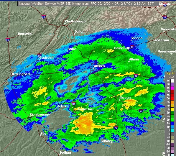 Radar Image of Metro Atlanta from the National Weather Service. Image captured at 2:12 am, Feb. 12
Radar Image of Metro Atlanta from the National Weather Service. Image captured at 2:12 am, Feb. 12
Editor’s note: If you have pictures of the storm, send them to [email protected]. Please don’t take any unnecessary risks to obtain photos of inclement weather.
The National Weather Service continues to refine its forecast regarding the severe winter weather, which is expected to last through Thursday afternoon.
Here’s the forecast for today, Feb. 12.
The NWS says there will be freezing rain before 9 am, followed freezing rain between 9 am and 4 pm, then more sleet after that. The high will be 30 degrees. There could be wind gusts as high as 30 miles per hour. There’s a possibility of ice accumulation.
Wednesday evening isn’t looking much better. The NWS predicts snow, freezing rain and more sleet that will turn into all-snow after midnight.
The winter storm warning is in effect until 1 pm, Feb. 13.
All metro area schools are closed today. The Governor and the President of the United States have declared states of emergency. Driving is not recommended due to the ice accumulation. Widespread and extended power outages are likely, because of the ice build up on the power lines and trees.
If your Decatur, Avondale Estates or Kirkwood business is open today, please let us know in the comments section.
Please keep checking Decaturish.com throughout the day for more information about this developing weather situation, including information about school closings and road safety conditions.